Timeline of deep-sea exploration: A look back at advancements in technology
Advancements in technology
The deep sea, the Earth’s largest and least explored biome, has captivated scientists for centuries with its enigmatic ecosystems and remarkable biodiversity. Since the establishment of the International Hydrographic Organisation (IHO) in 1921, profound advancements in marine science have unveiled the deep ocean as a dynamic realm teeming with life.
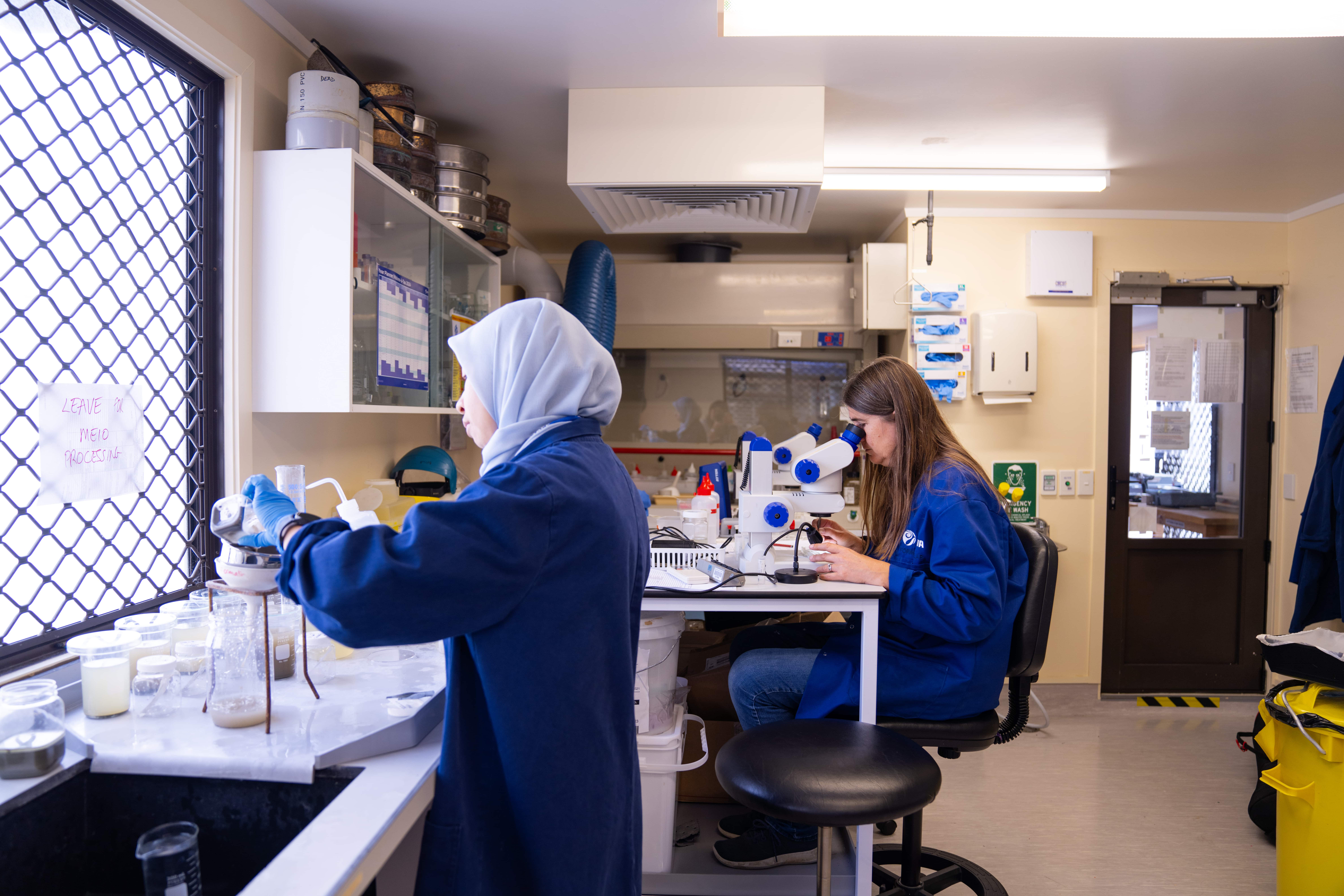
This timeline, summarised from the article, embarks on a journey through a century of deep-sea biodiversity research, highlighting key discoveries and technological innovations that have reshaped our understanding of marine life in the abyss.
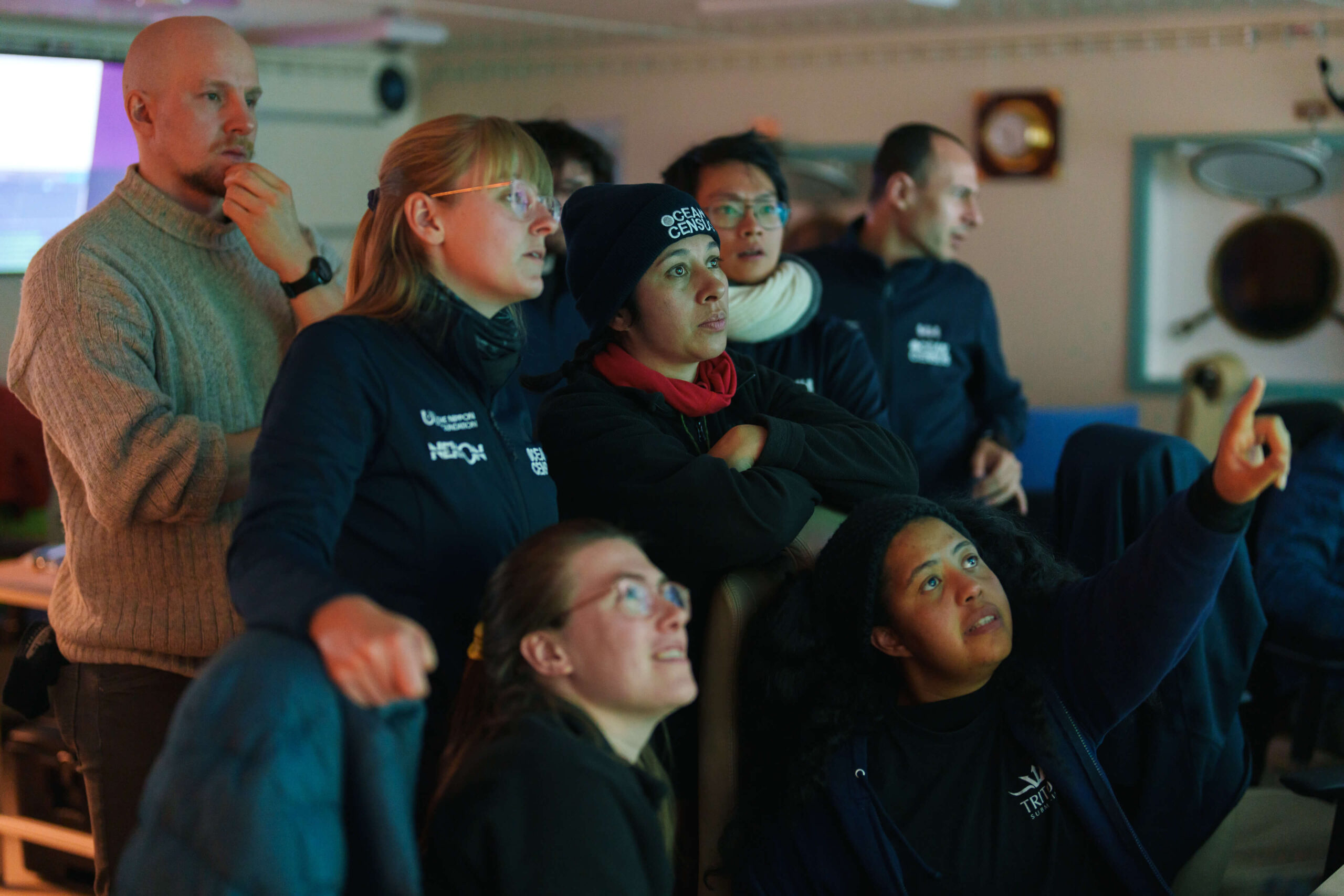
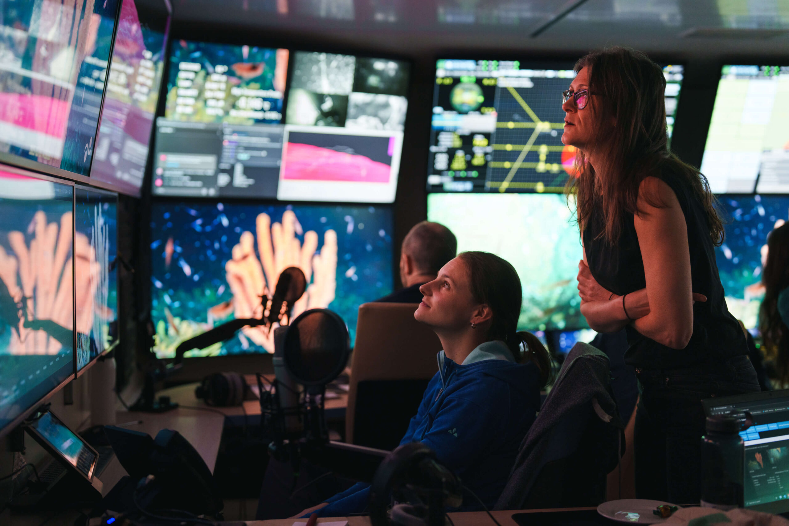
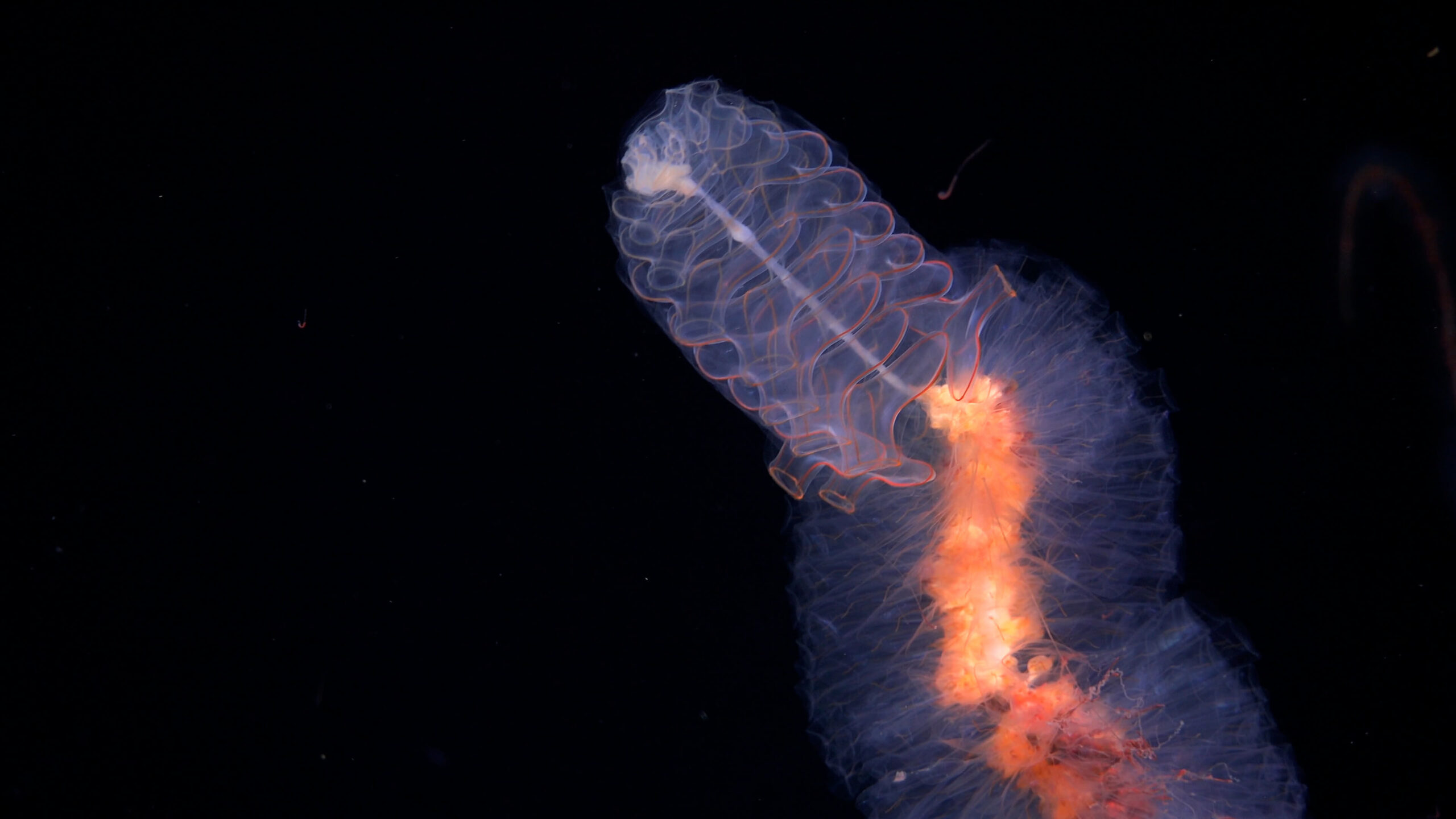
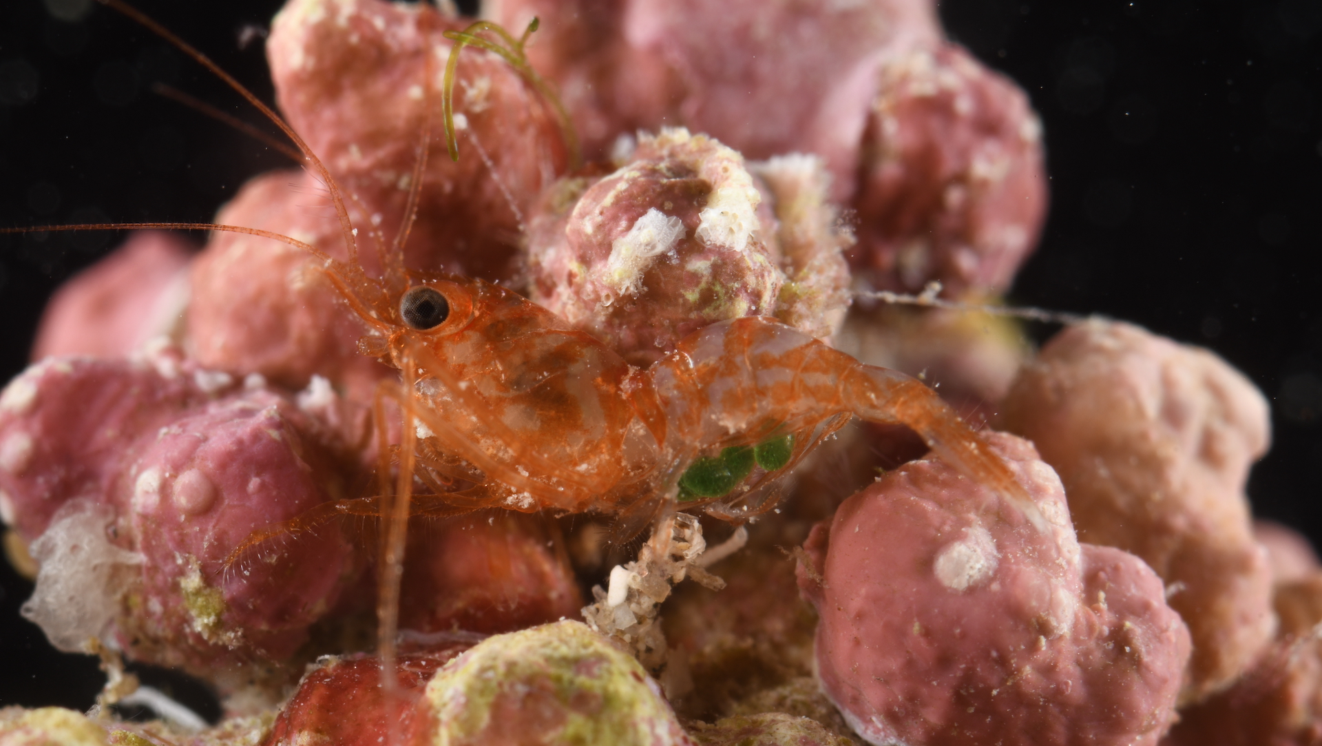
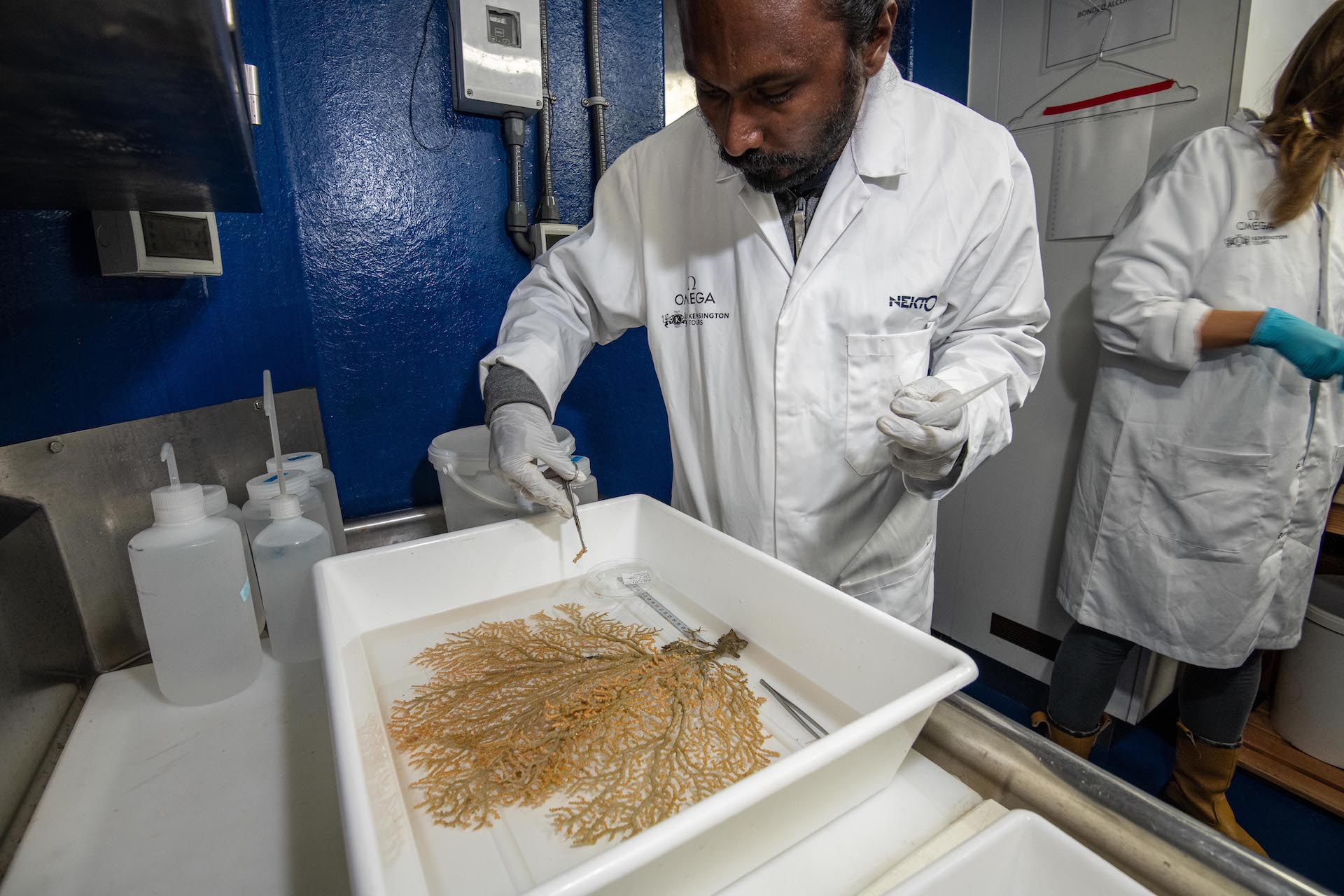
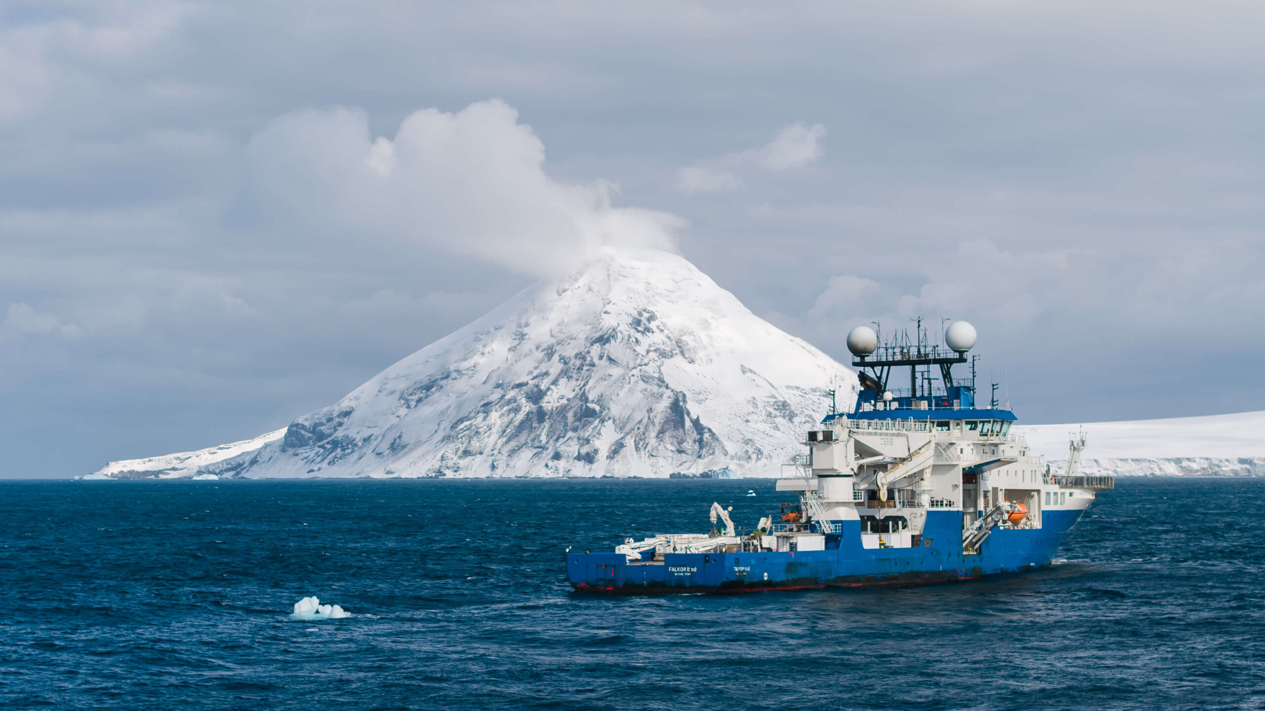
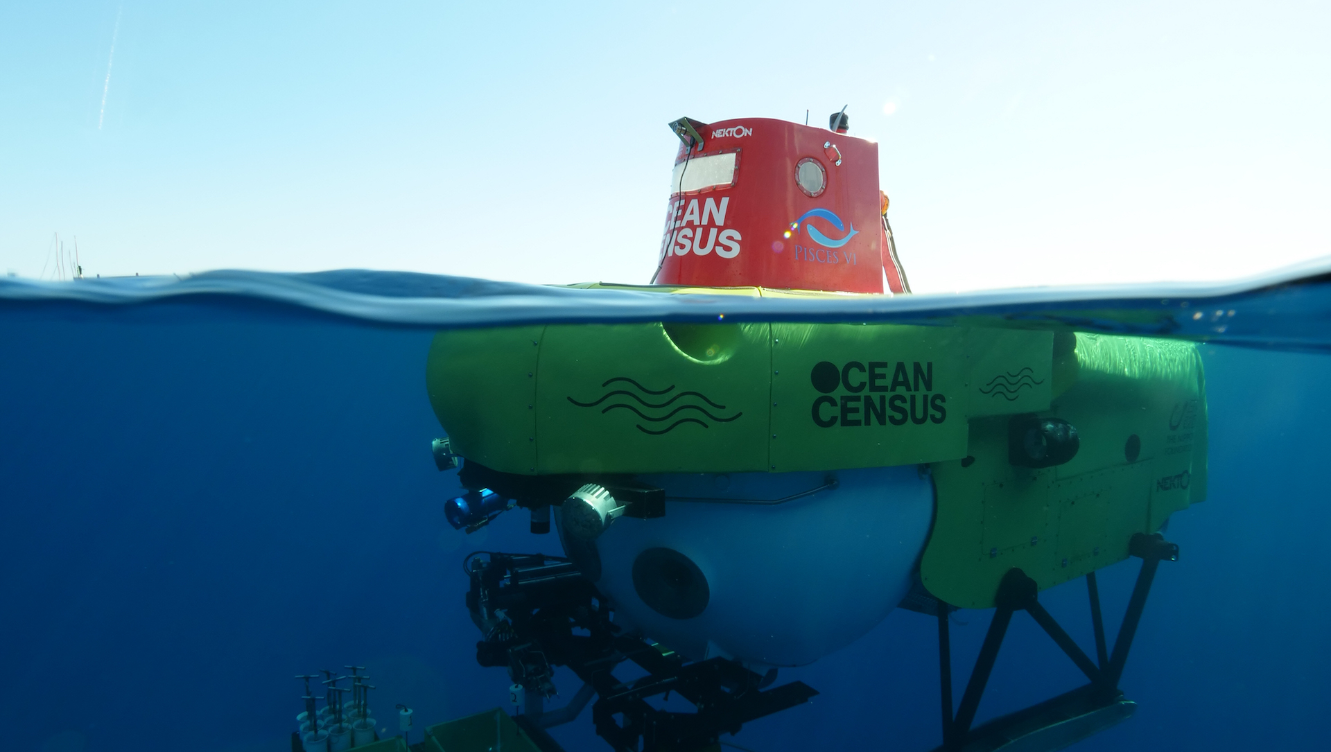
Featured image credits: The Ocean Census
Pre-1900s
The HMS Challenger Expedition
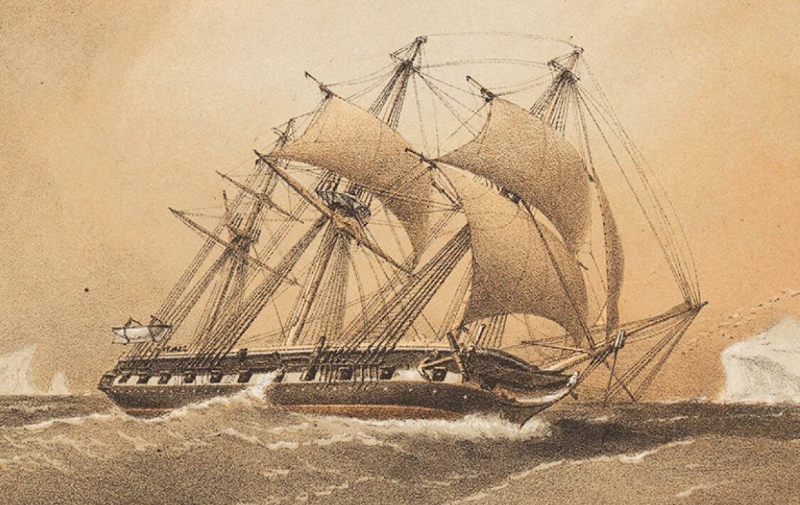
1872-1876: The HMS Challenger expedition conducted the first comprehensive survey of the world’s oceans, using dredges and trawls to collect deep-sea samples. This laid the groundwork for modern oceanographic techniques.
(Image Credits: Royal Museums of Greenwich – The HMS Challenger)
Early 1900s
A View of the Deep Sea
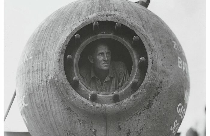
1930-1934: William Beebe and Otis Barton undertook the first deep-sea exploration in a human-occupied vehicle (HOV), called Bathysphere. Beebe and Barton conducted a series of dives observing deep-sea animals in their own habitat for the first time in human history, reaching 923 metres depth, a record at the time.
Post-war advances in technology
1940s: Advances in sonar technology post-World War II allowed for better mapping of the sea floor, indirectly aiding the development of sampling methods.
1950s: The advent of the gravity corer enabled the collection of deep-sea sediment cores, providing insights into geological and biological processes at great depths.
(Image Credit: Wildlife Conservation Society Archives – Bathysphere)
1960’s
Precise Sampling
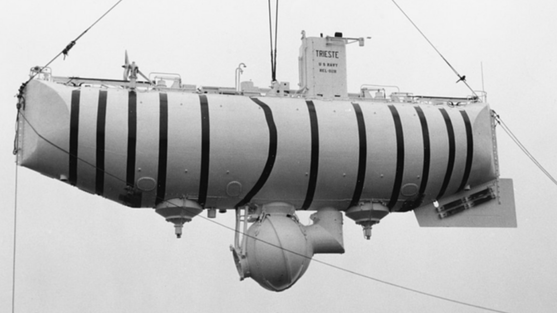
1960: The bathyscaphe Trieste, piloted by Jacques Piccard and Don Walsh, reached the Challenger Deep, highlighting the need for robust sampling tools for extreme environments.
1960s: The development of remotely operated vehicles (ROVs) began, with early models like the CURV (Cable-controlled Underwater Recovery Vehicle) being used for both military and scientific purposes. ROVs significantly advanced deep-sea exploration by allowing precise sampling without the need for human presence at depth.
1964: The submersible Alvin, developed by the Woods Hole Oceanographic Institution, began operations. Alvin’s manipulator arms and sampling baskets allowed for direct sampling of deep-sea organisms and sediments.
(Image Credits: U.S. Naval History and Heritage Command – The Bathyscaphe Trieste)
1970’s
Discovery of hydrothermal vents
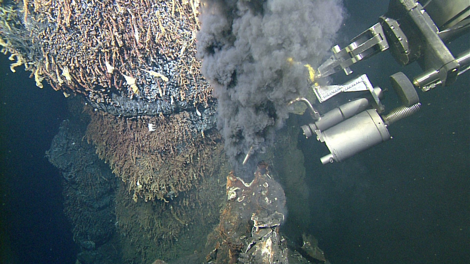
1977: Discovery of hydrothermal vents by Alvin at the Galápagos Rift led to the development of specialised samplers, like the vent fluid sampler and high-temperature probes, to study unique vent ecosystems.
(Image Credits: Monterey Bay Aquarium Research Institute – Vent Fluid Sampler)
1980’s
Autonomous Underwater Vehicles (AUVs)
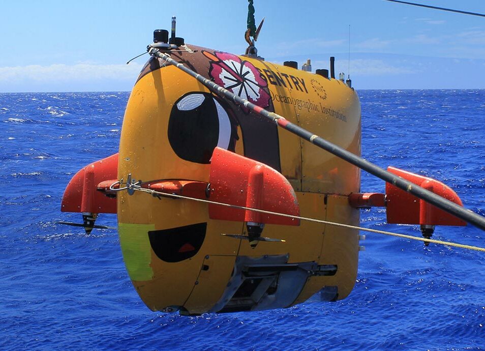
1980s: The advancement of Autonomous Underwater Vehicles (AUVs) significantly improved the range, precision, and capabilities of these vehicles, enabling more sophisticated sampling and mapping of the ocean floor. AUVs became essential tools for deep-sea exploration and research.
(Image Credits: Schmidt Ocean Institute – Autonomous Underwater Vehicle)
2000’s
Cataloguing Species
2000-2010: The Census of Marine Life utilised advanced sampling technologies, including AUVs and genetic barcoding, to catalogue marine biodiversity globally.
2003: The introduction of environmental sample processors (ESPs) allowed for in-situ collection and analysis of water samples, detecting microorganisms and chemical properties directly in the ocean.
(Image Credits: The Census of Marine Life)
2010’s
Advanced sampling technologies
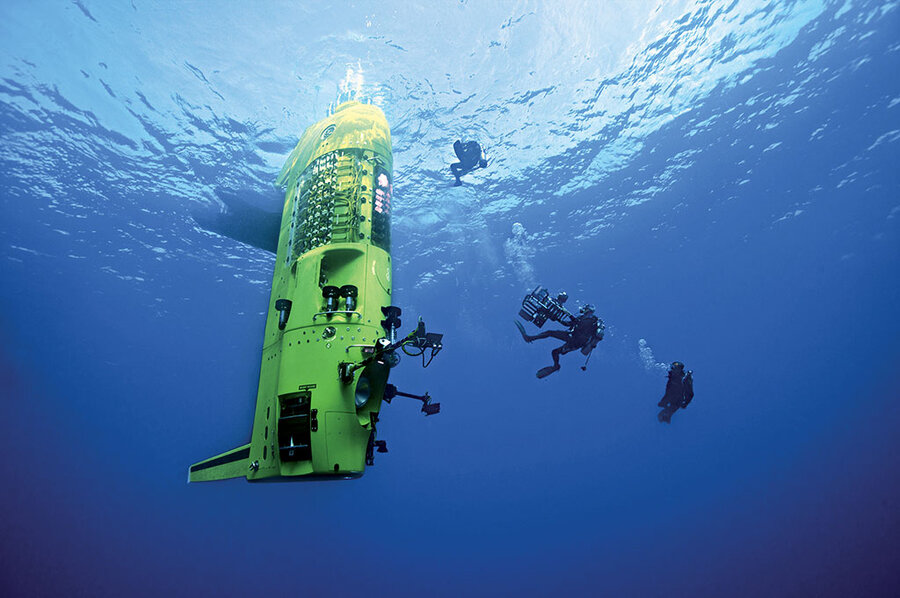
2012: James Cameron’s Deepsea Challenger expedition to the Mariana Trench used advanced sampling tools to collect sediment and biological samples from the ocean’s deepest point.
2016: The Global Ocean Sampling Expedition employed metagenomic techniques to analyse microbial diversity in the ocean, providing a comprehensive understanding of marine microbial communities.
(Image Credits: Mark Thiessen/National Geographic – The Deepsea Challenger)
2020’s
In recent years…
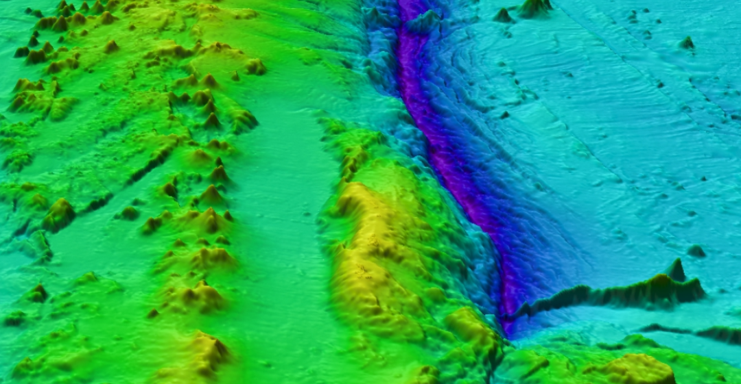
2020: The Nippon Foundation–GEBCO Seabed 2030 Project emphasised the use of high-resolution multibeam echosounders and AUVs to map the ocean floor, indirectly aiding in the development of sampling technologies.
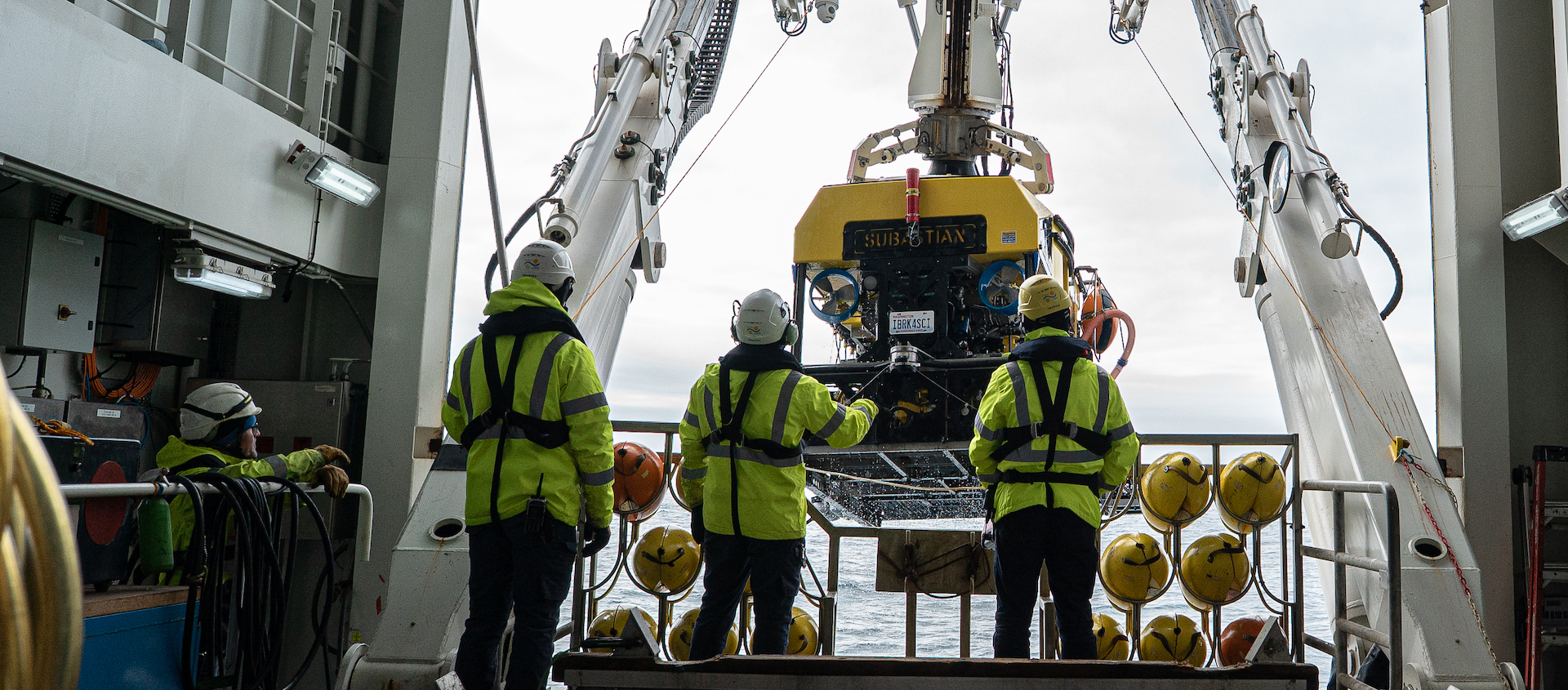
2023: On the centenary of The International Hydrographic Review, advancements in deep-sea sampling technologies, including next-generation ROVs and AUVs equipped with more precise and diverse sampling instruments, were highlighted as crucial for future marine biodiversity studies.
2023: The launch of The Ocean Census aimed to accelerate the discovery and protection of marine species through innovative sampling and data-sharing technologies, marking a significant milestone in marine biodiversity research.
(Image Credits: Seabed 2030)
Read the Full Article
For more detailed information, you can access the full article on the International Hydrographic Review website.
Related News
Join the census
An Alliance of scientists, governments, marine research institutes, museums, philanthropy, technology, media and civil society partners.
