









Marshall
Islands
CENTRAL PACIFIC: 27 JULY – 17 AUGUST 2025
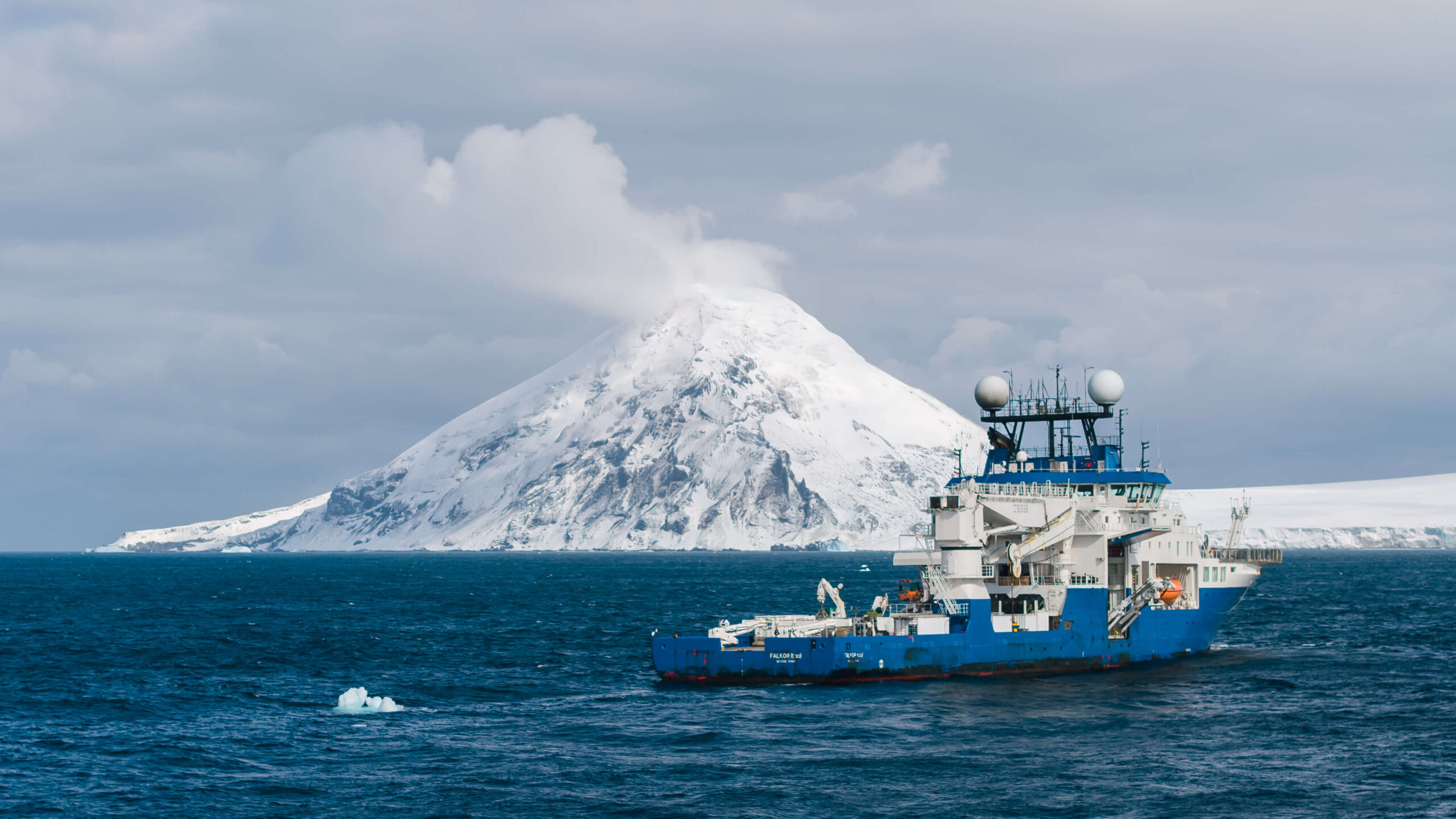
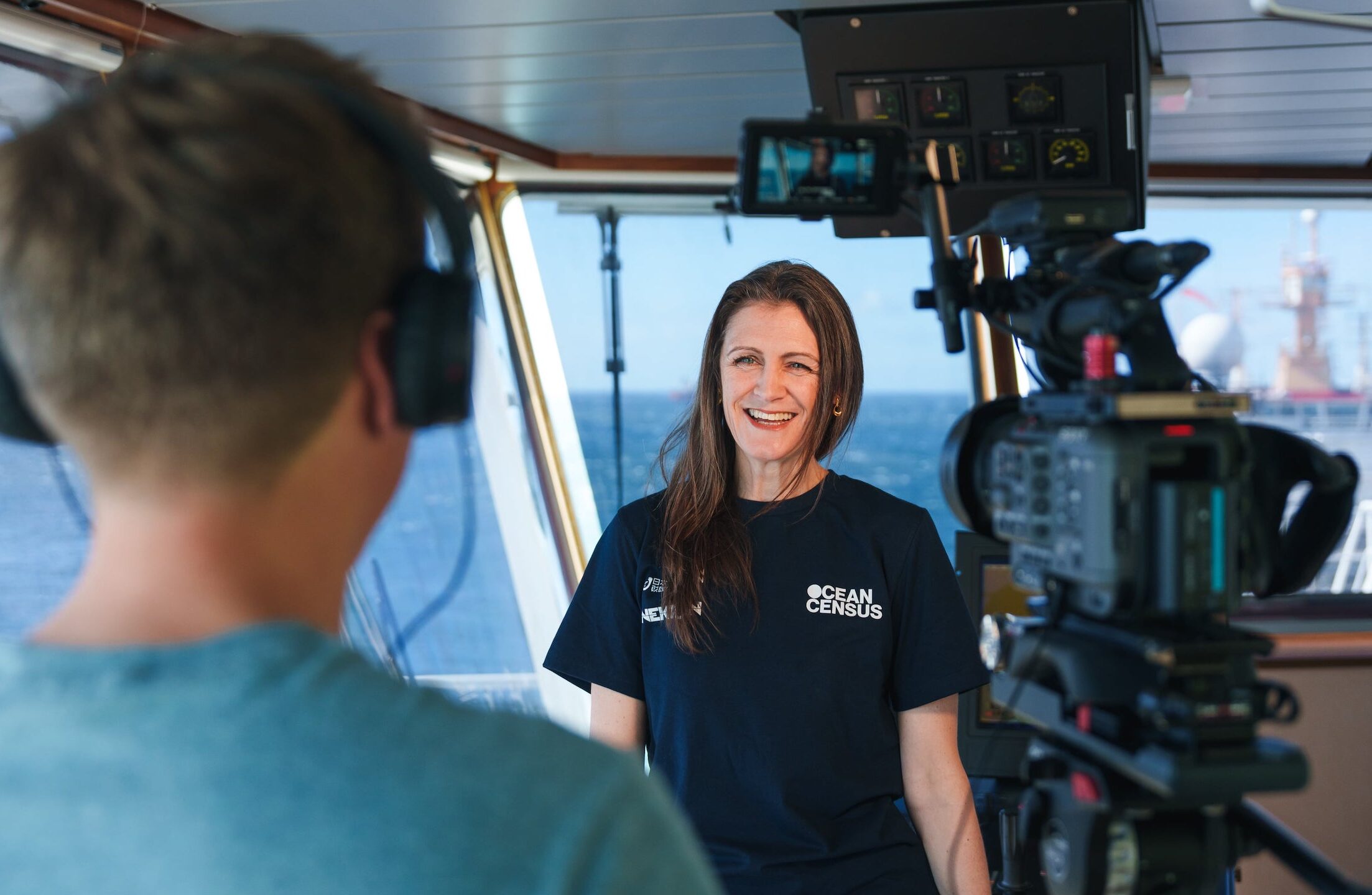
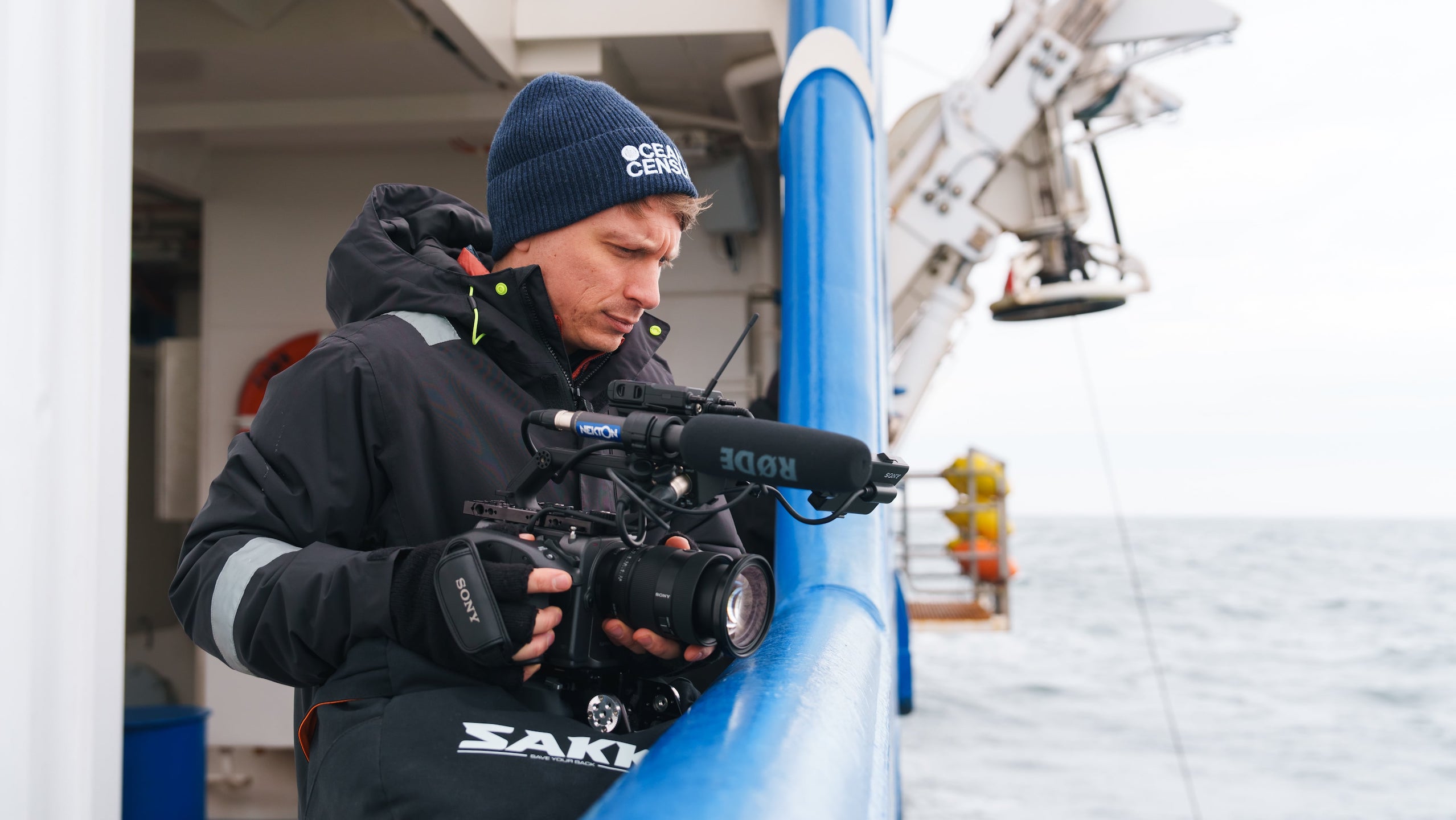
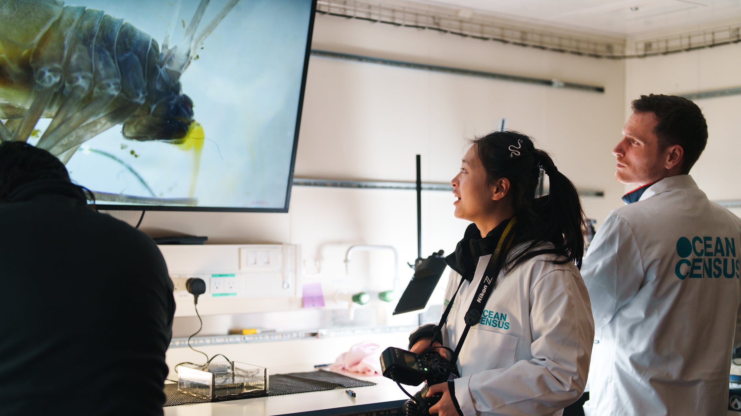
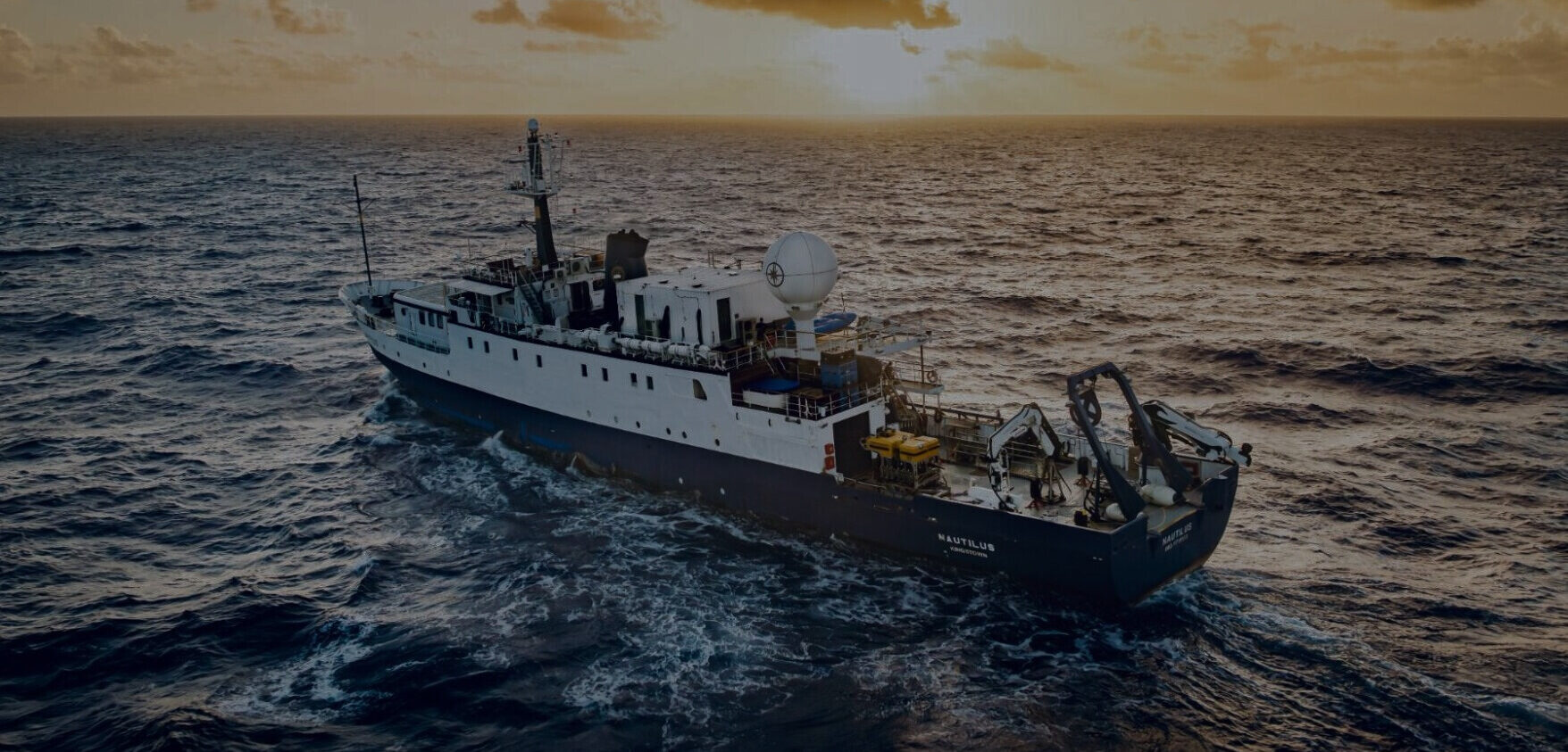
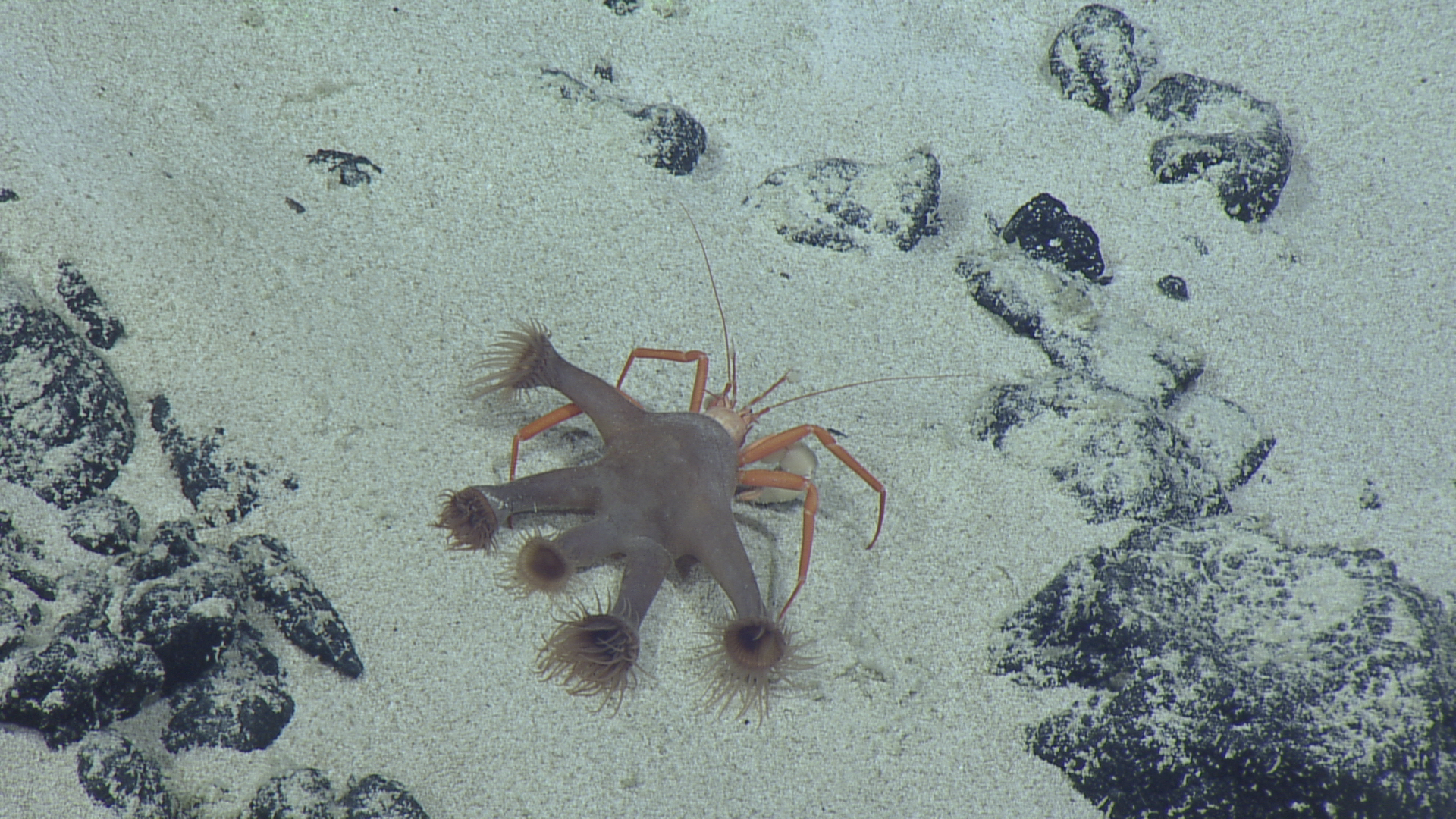
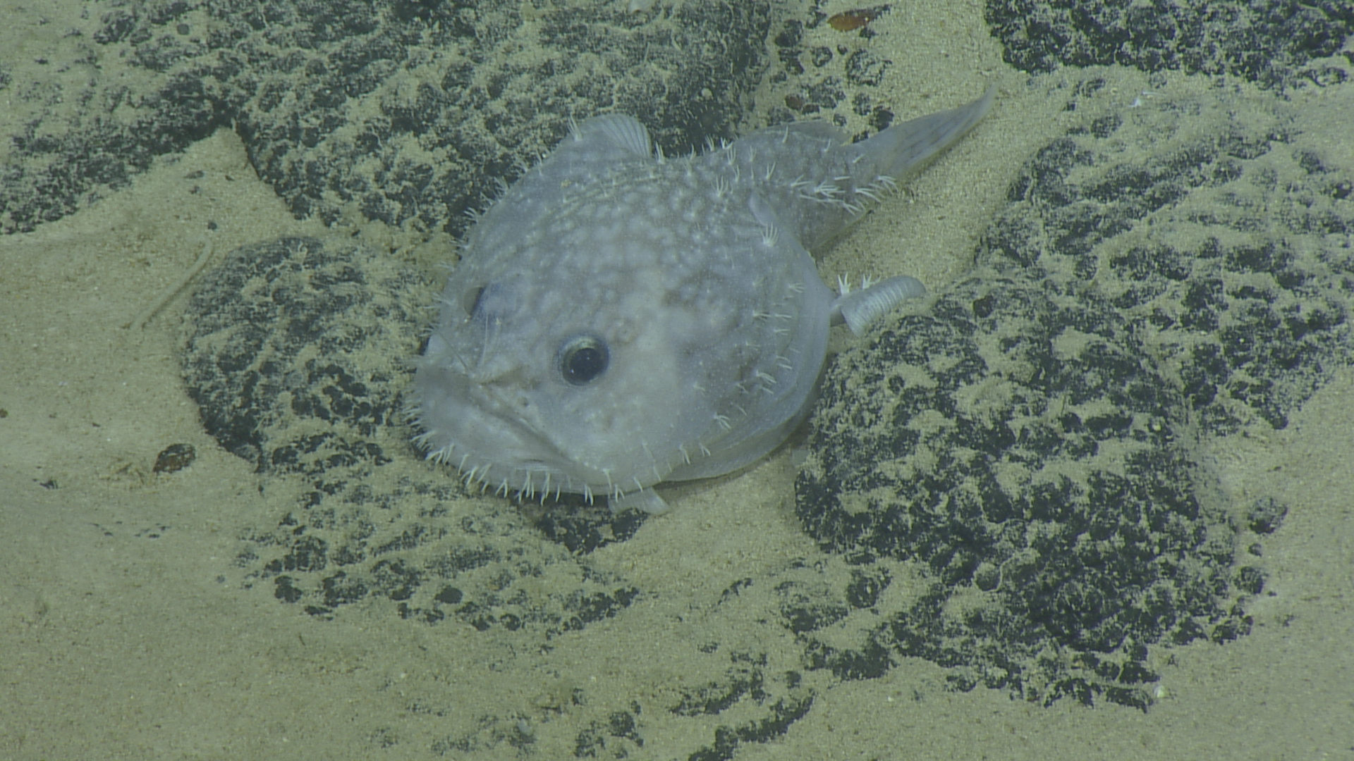
The Ocean Census joined the Ocean Exploration Trust on it’s Marshall Islands Expedition. This Ocean Census participant expedition saw one scientist from the Ocean Census Science Network working alongside the Ocean Exploration Trust explore the biodiverse deep-sea habitats of the Marshall Islands, including extensive seamounts and deep-sea ridges, on board the E/V Nautilus.
Mission Guide
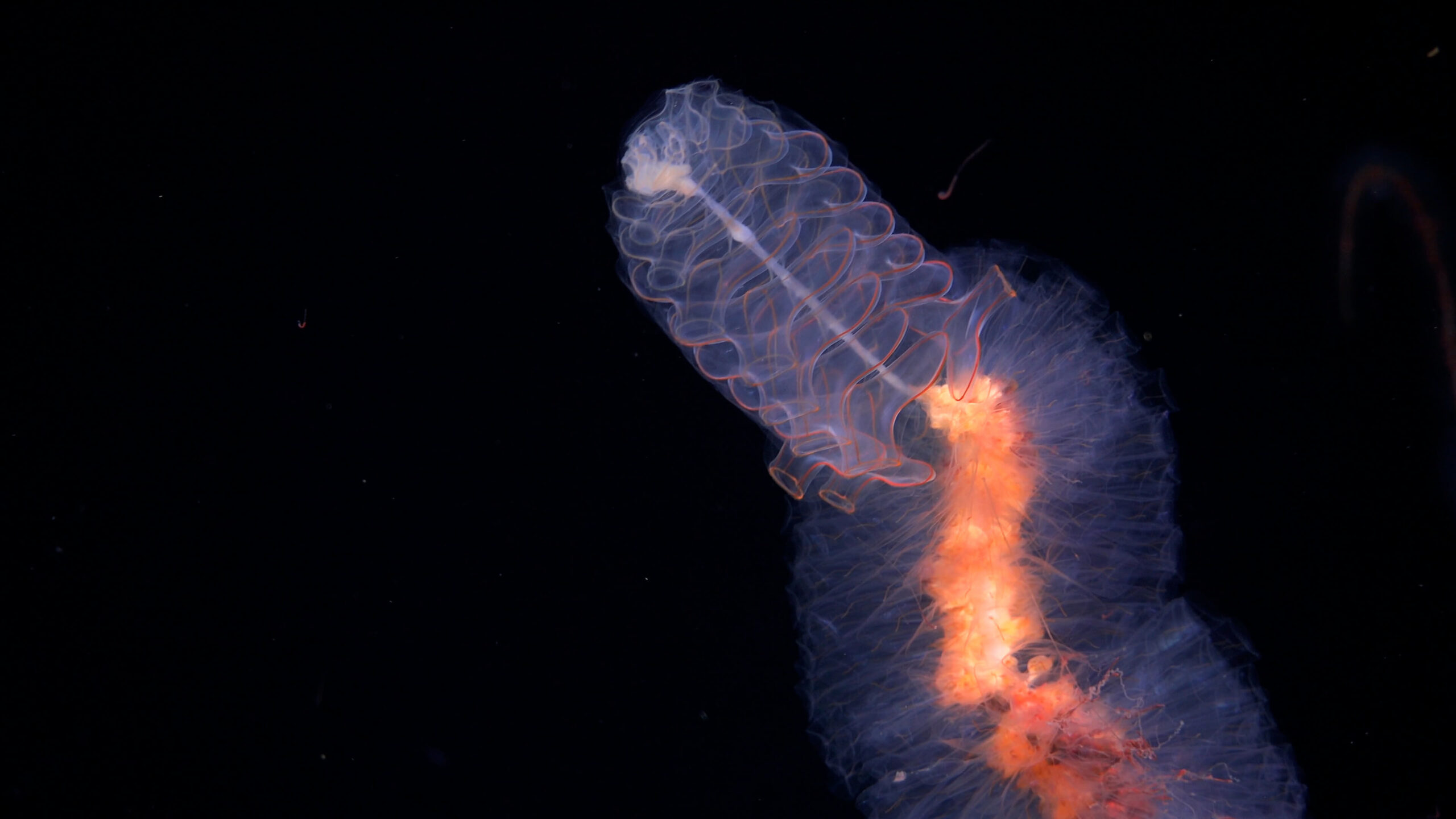
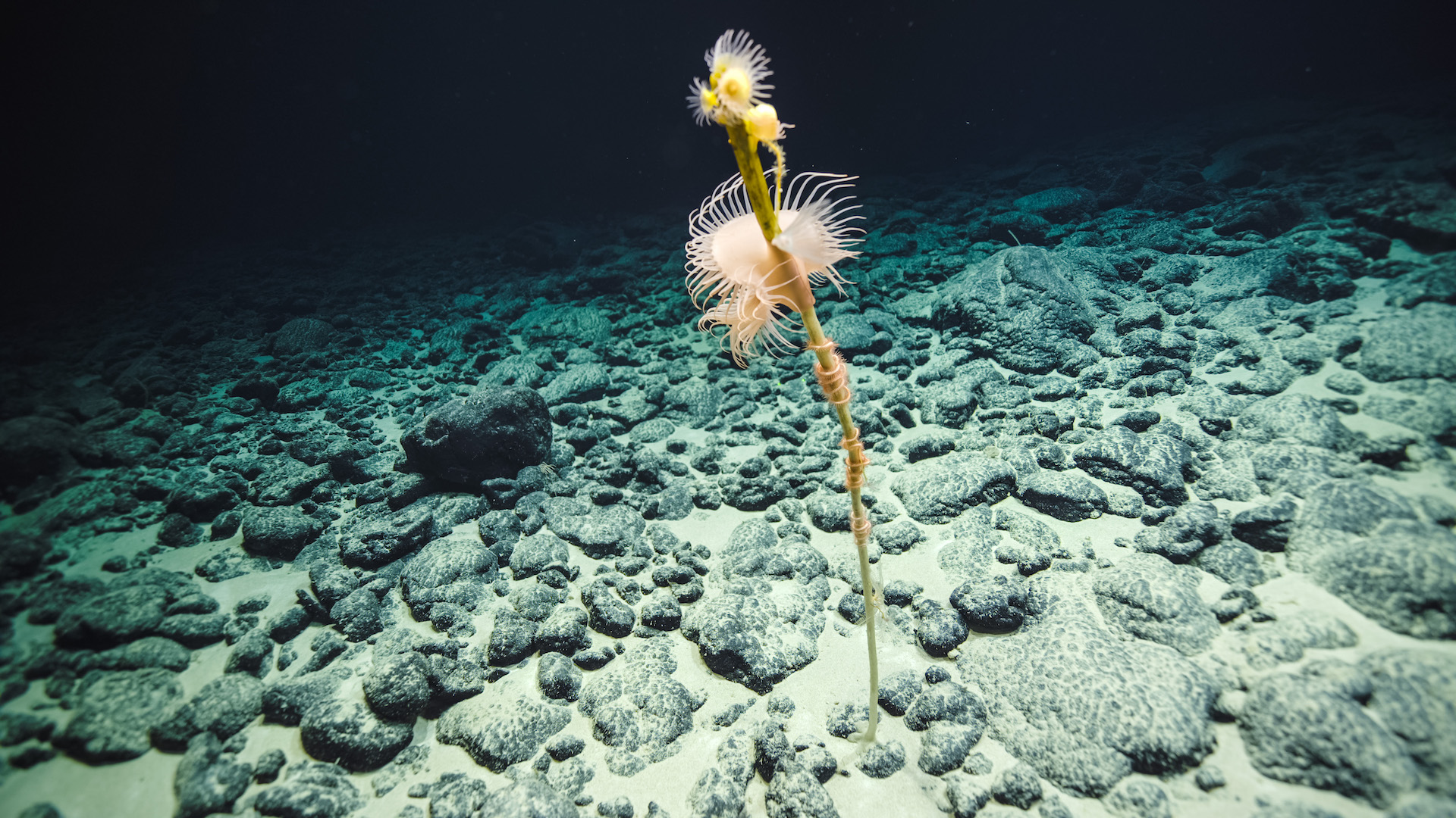
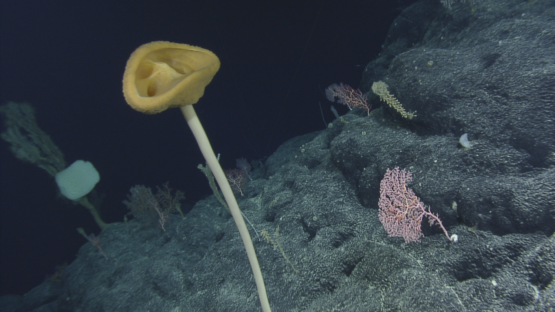
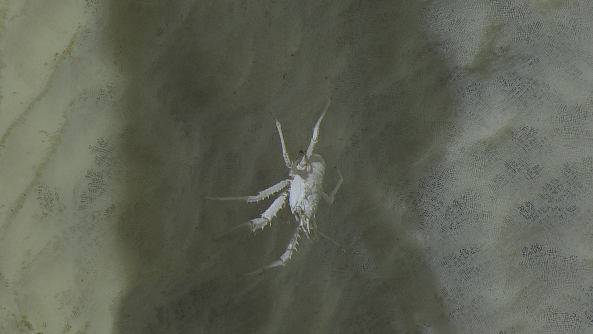
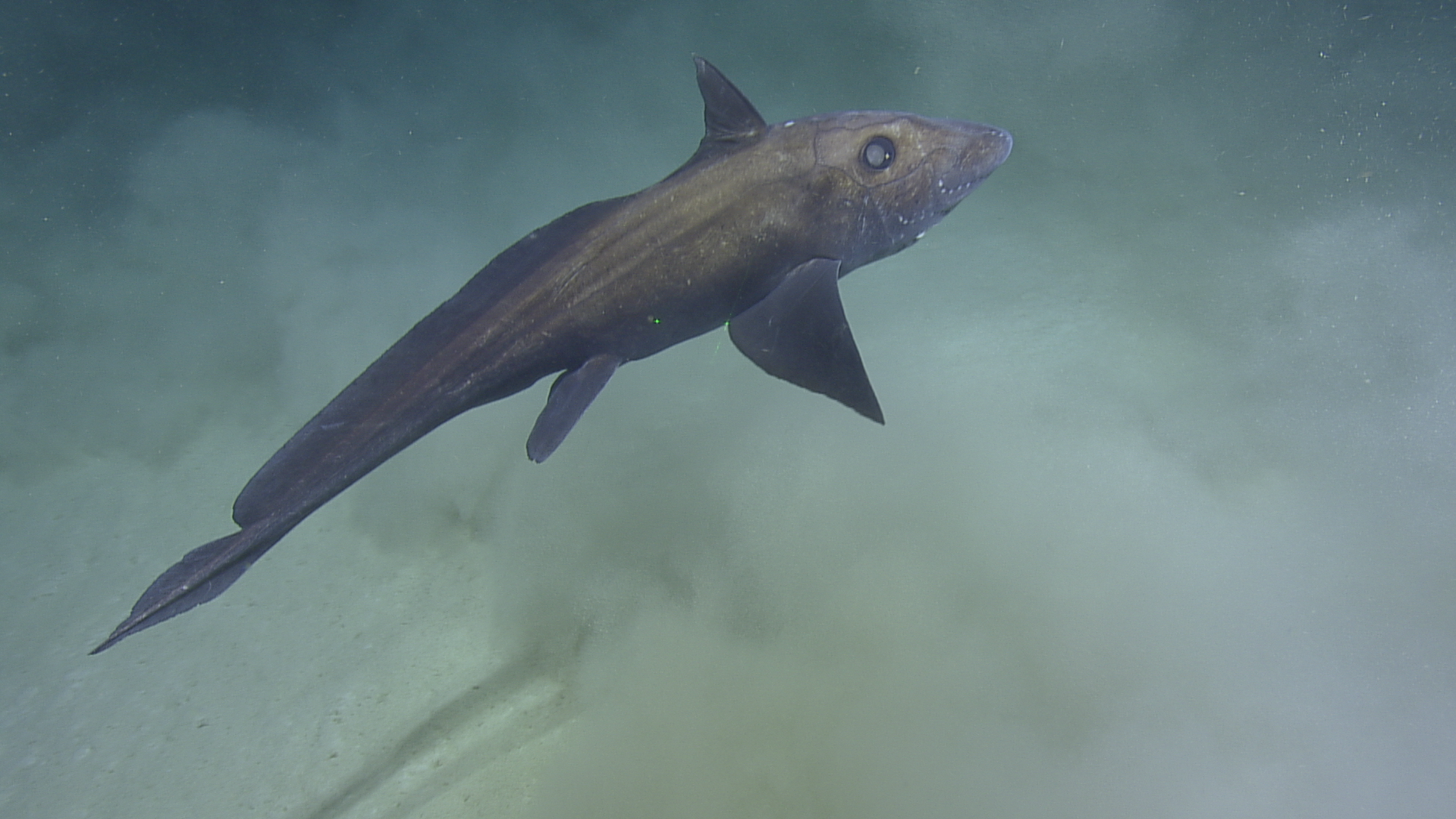
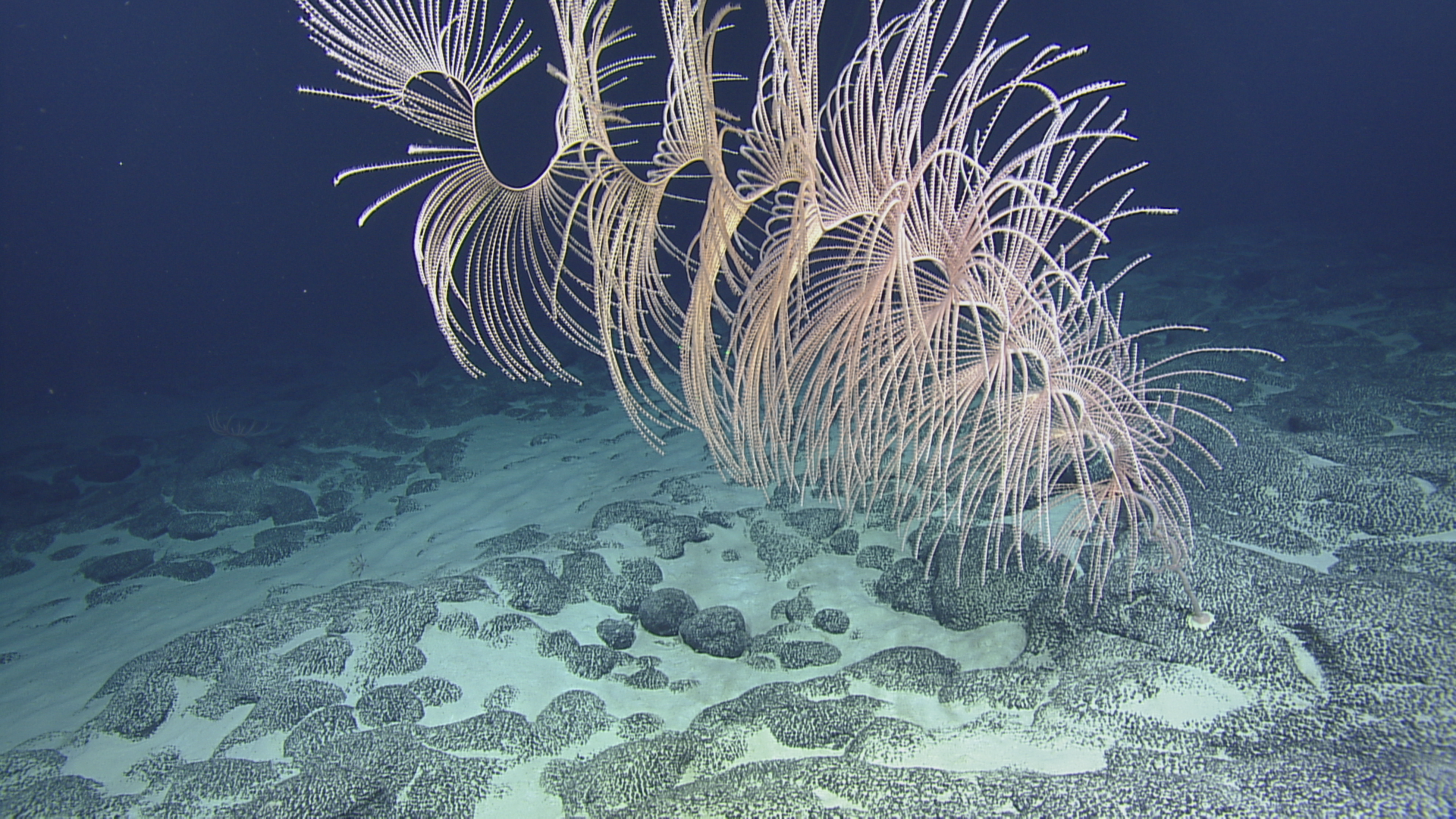
This Ocean Census participant expedition explored over 300 seamounts, extensive deep-sea ridges and deep-water habitats within the Marshall Islands newly established National Marine Sanctuaries of Bikar and Bokak.
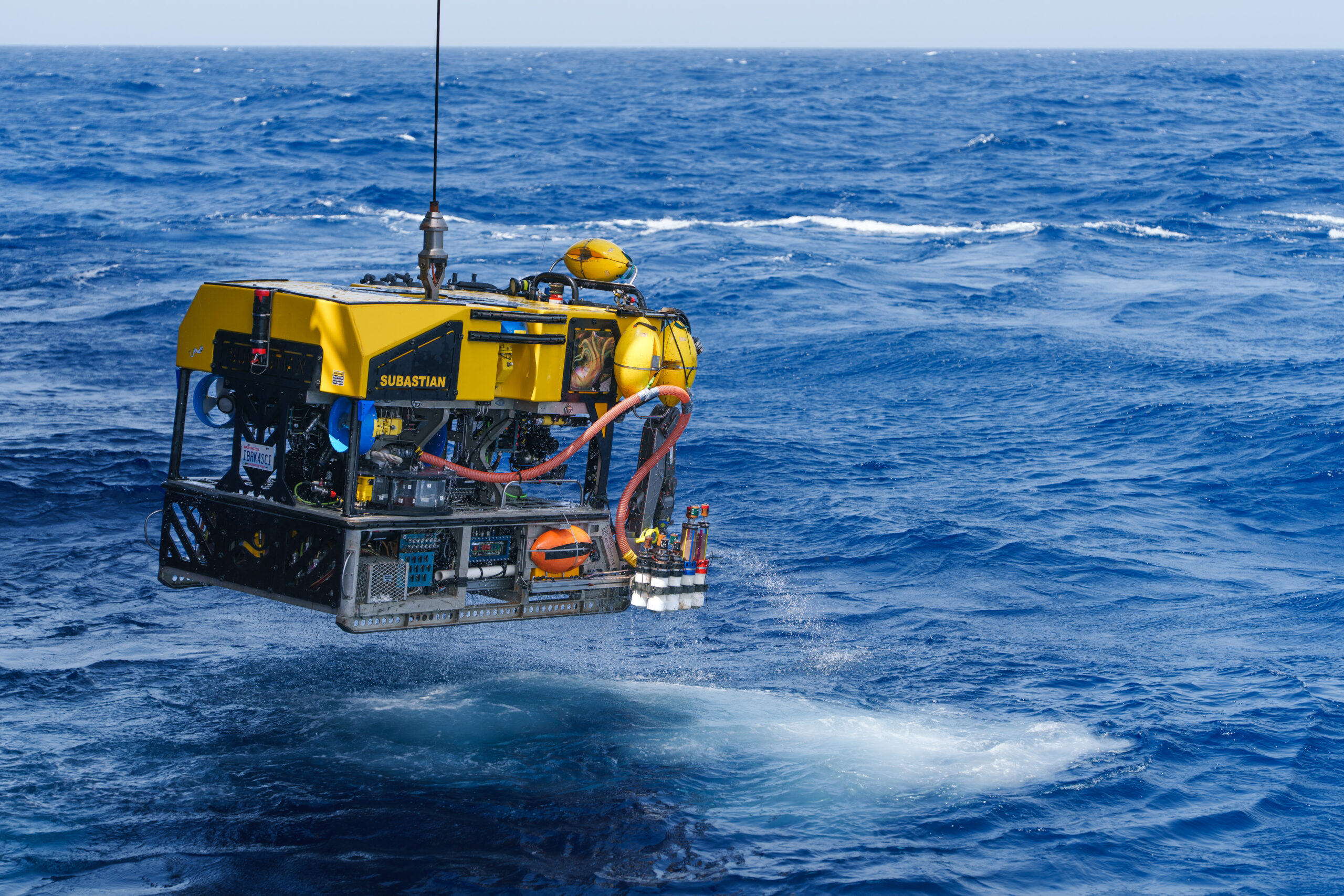
The Republic of the Marshall Islands consists of 29 atolls and over 1200 islands that are surrounded by 2.13 million square kilometres of seafloor, the vast majority of which has never been mapped or characterized. This 21-day expedition utilised the ROV, mapping, and telepresence systems of E/V Nautilus to collect critical baseline information across the region to support resource management efforts.
Mission facts
Dates
27 July – 17 August 2025
Duration
21 days
Location
Marshall Islands
Type
Participant
Image credits
Ocean Exploration Trust
Mission brief
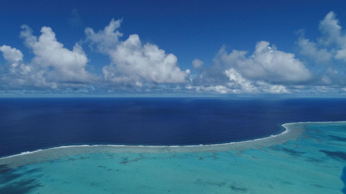
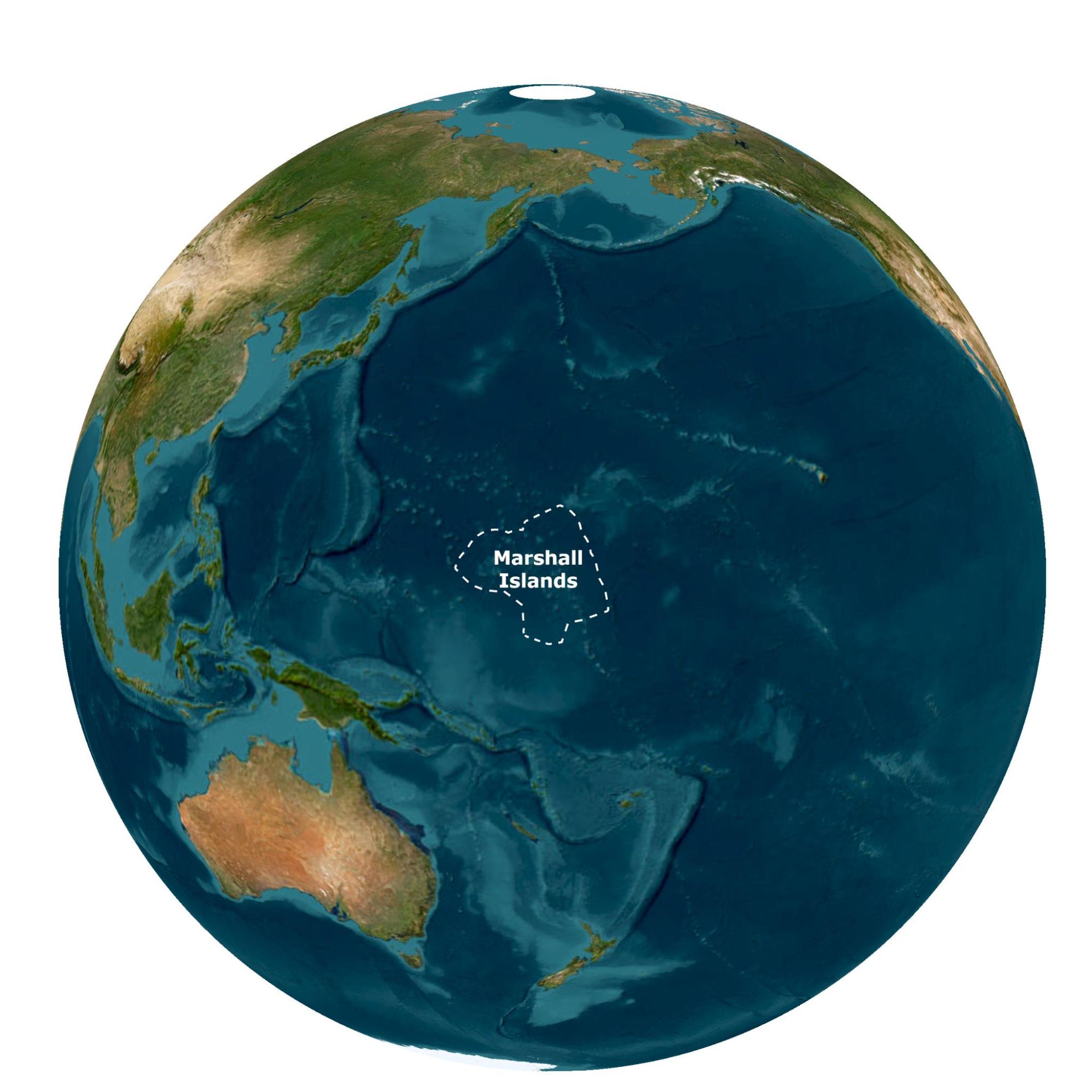
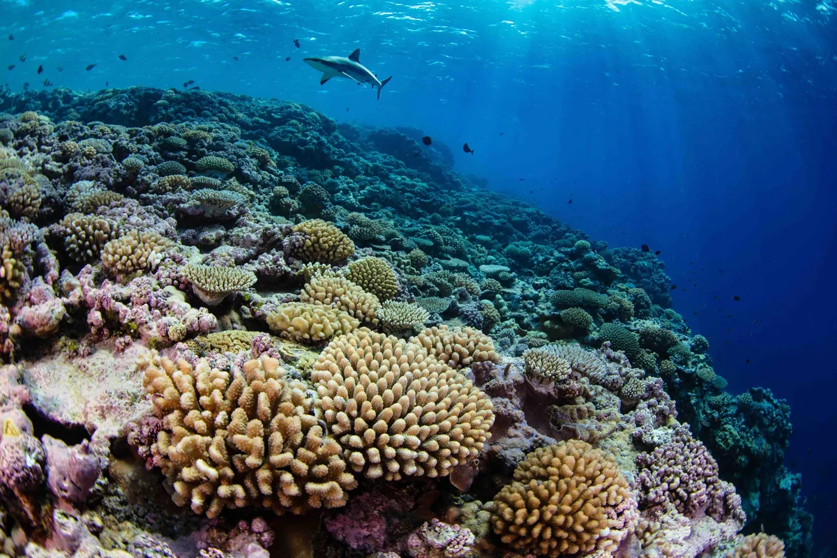
Located midway between Hawaii and the Philippines, the Republic of the Marshall Islands is an island nation in the Central Pacific region of Micronesia. As one of only four atoll-nations in the world, the Republic of the Marshall Islands consists of 29 low-lying atolls and five main islands. With a total land area of only 181 square kilometres, 98.9% of the Marshall Islands’ territory is underwater – the largest proportion of water to land of any sovereign state.
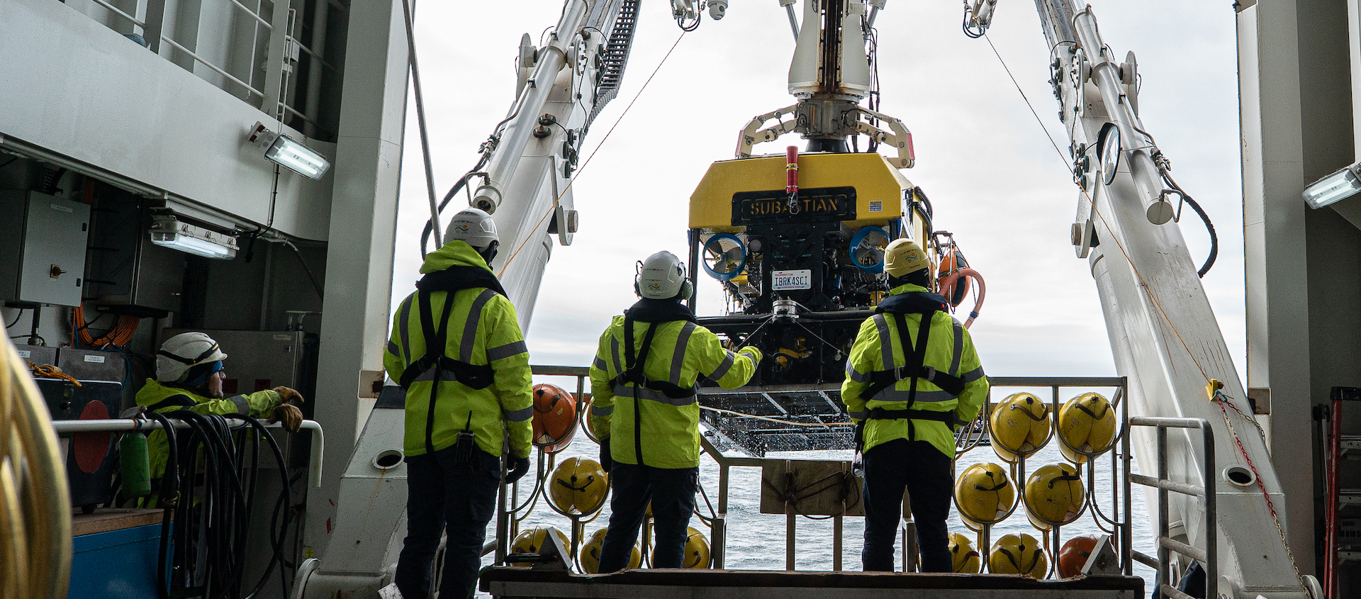
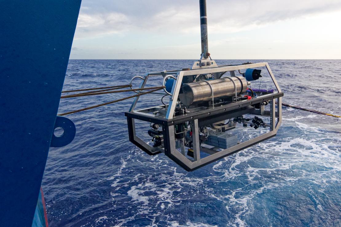
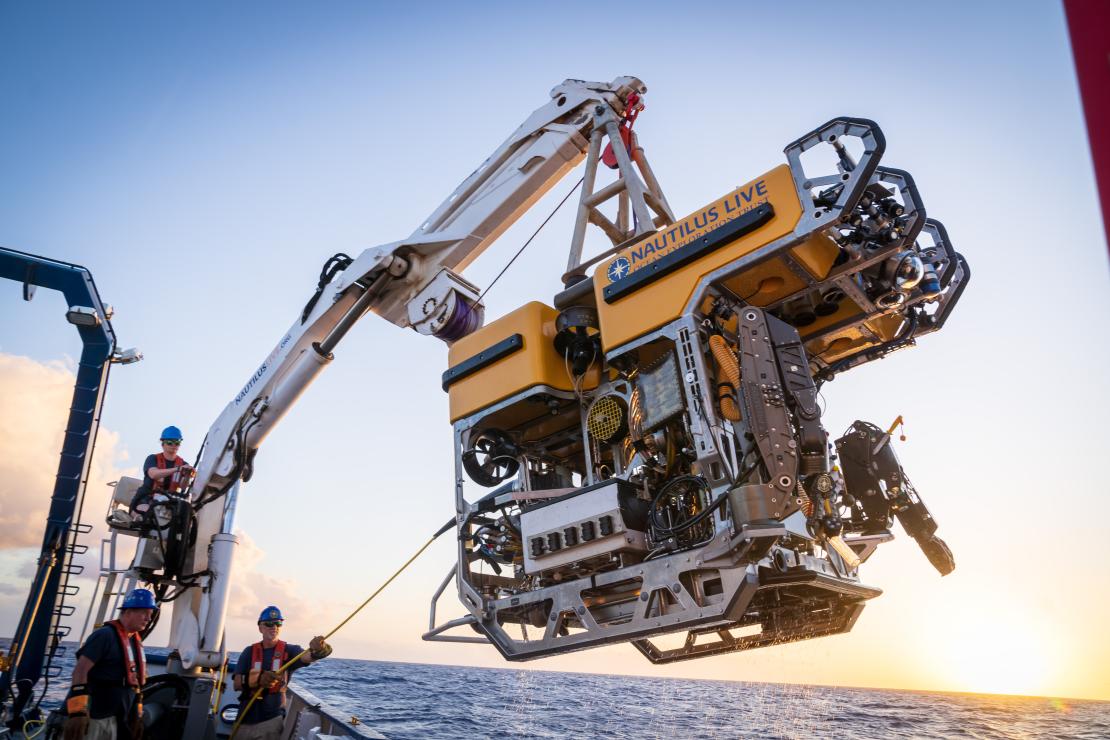
The NA174 expedition started in Honiara, Solomon Islands on July 27 and end in Majuro, Marshall Islands on August 17. While at sea, operations occured 24 hours a day and consisted mainly of ROV dives with multibeam mapping operations in between dives. ROV surveys in previously unexplored deep-sea areas within the Marshall Islands Exclusive Economic Zone will be the main focus of the expedition. These operations will use E/V Nautilus’ dual-body ROV system, consisting of the main ROV Hercules and the towsled Atalanta, and will focus on exploring seafloor areas to maximum depths of 4,000 metres. ROV operations targeted unexplored priority areas, which will mostly focus on isolated seamounts within the Marshall Islands Exclusive Economic Zone, and slope habitats off Bikar, Bokak, and Bikini Atolls.
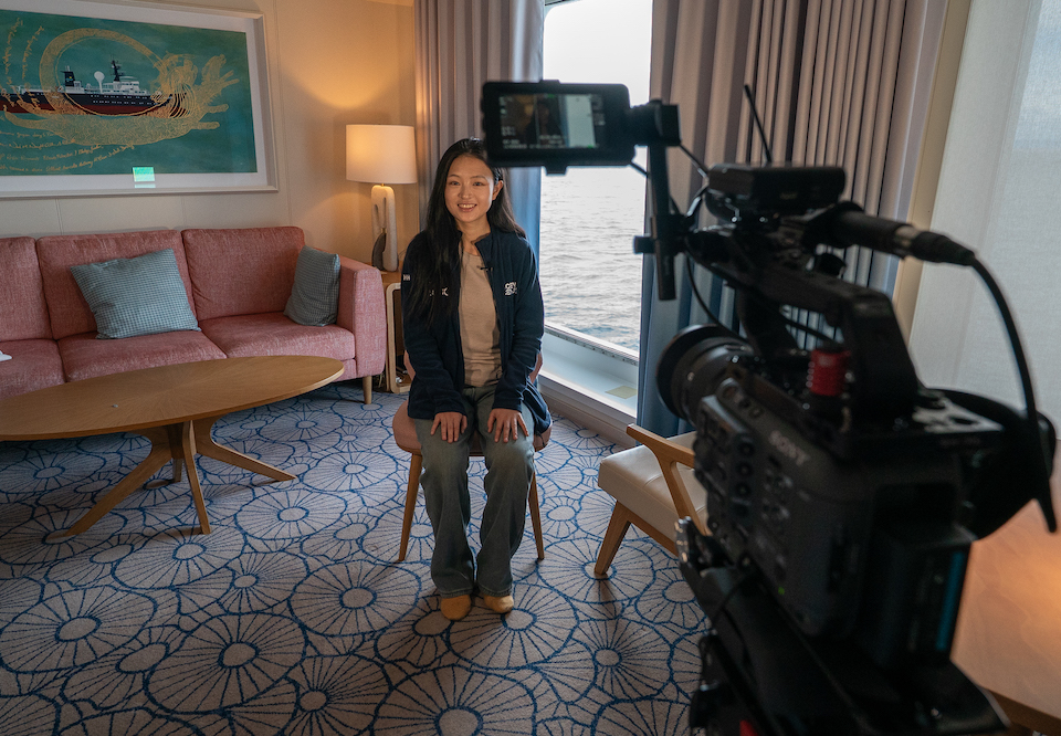
Ocean Census supported Luisa Fernanda Duenas Montalvo: Associate Professor at the Department of Biology of the National University of Colombia.
Be sure to follow @oceancensus and @nautiluslive on social media to keep up to date with this fascinating expedition.

Mission Partners
Expedition
Highlights
Participant Expeditions
Ocean Census supports a range of expeditions and opportunities for scientists to get onboard, helping to add capacity to species discovery worldwide.
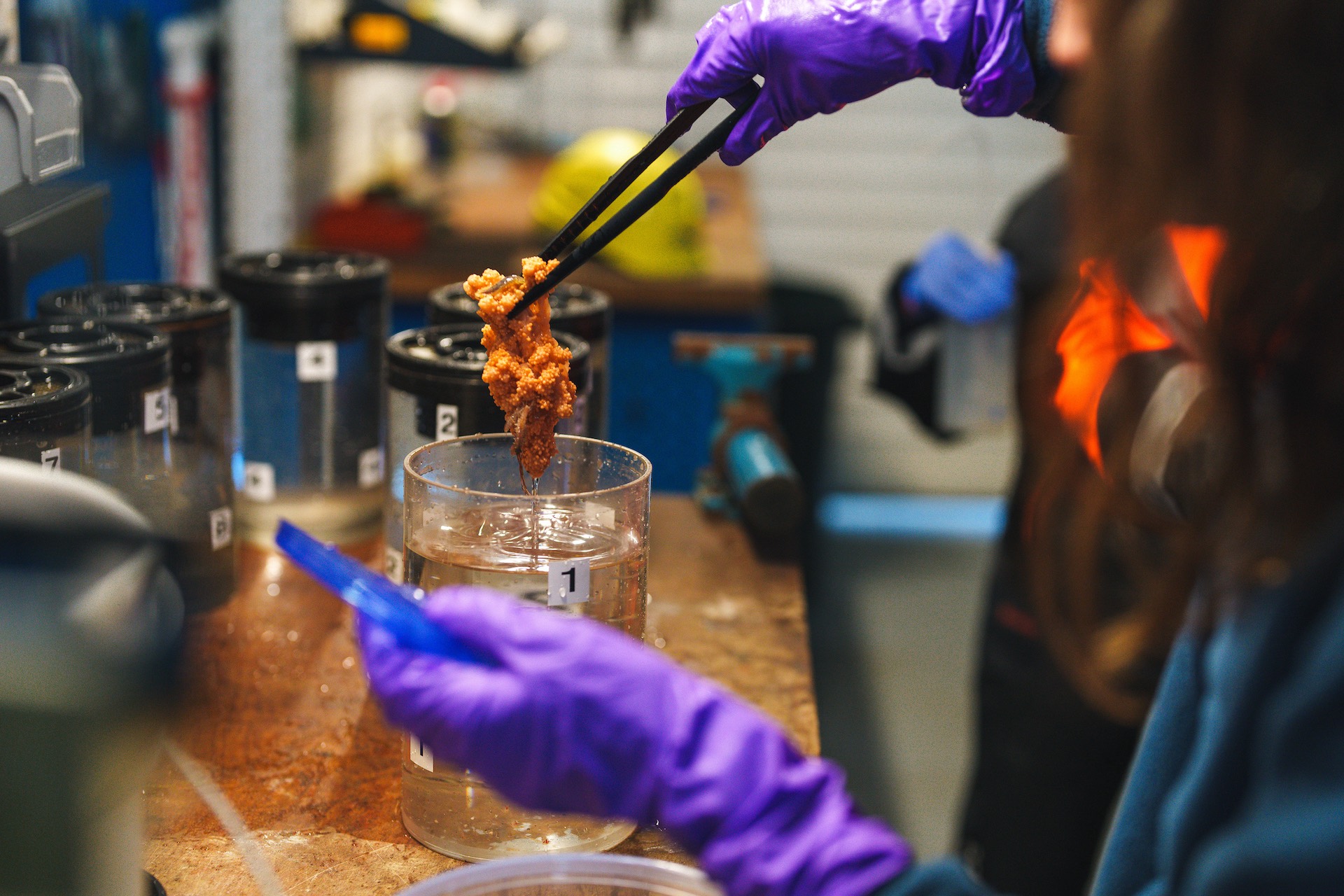
Participant Expeditions give specialists from our Science Network and media experts the opportunity to join expeditions led by our Partners, gain at-sea skills, and exchange knowledge with other professionals.
Find out more and get involved by joining our Science Network today.
Join the census
The Ocean Census Alliance unites national and philanthropic marine institutes, museums, and universities, backed by governments, philanthropy, business and civil society partners.


